
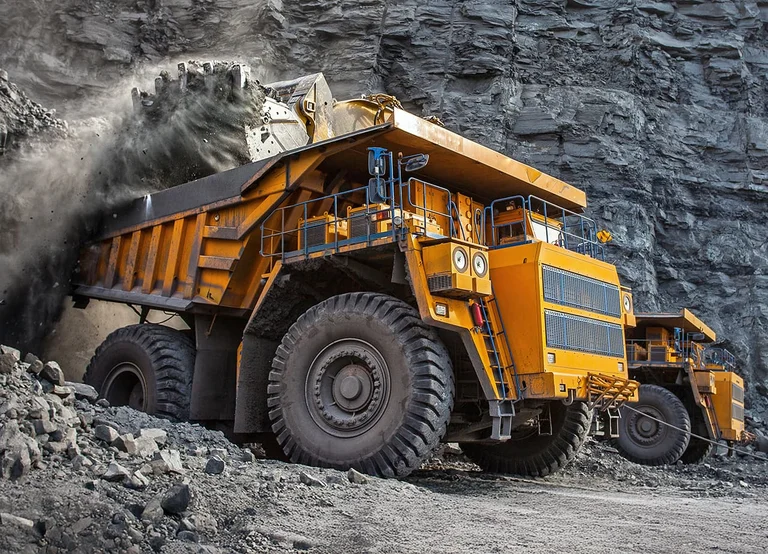

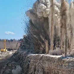
MINING
Enhance exploration, drilling, and site management with Juniper’s rugged tablets and Geospatial solutions.
Explore Mining Solutions Contact Us
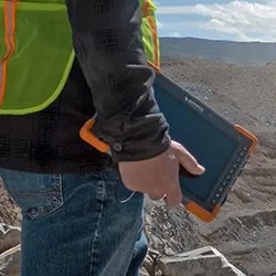
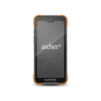
Field-Ready Power
Powerful rugged tablets that thrive in extreme conditions.
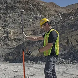
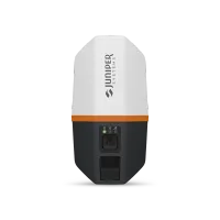
Accurate Mapping
Pair with our GNSS receivers for sub-meter to centimeter accuracy.
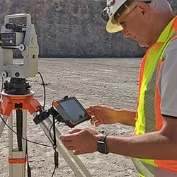
Seamless Sync
Share data in real-time with Uinta mapping software.
Built to Last
IP68 and MIL-STD-810H rated for dust, water, and drops.
MINING APPLICATIONS
Exploration
Collect geological data and map sites easily with our bundles, even in remote areas.
Drilling
Monitor drill depth and ore quality, share reports instantly with rugged tablets.
Site Management
Manage equipment and workflows efficiently with real-time data.
Safety Monitoring
Track environmental conditions and ensure compliance with safety standards.
Maintenance
Schedule and log equipment maintenance tasks directly from the field.
Data Sharing
Sync collected data with office systems for seamless reporting and analysis.
MAPPING BUNDLES
BUILD YOUR BUNDLE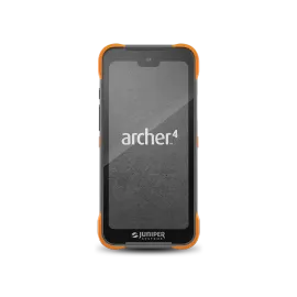
 +
+ +
+
Handheld
Receiver
Software
Interested in our solutions? Contact us today!

HAVE QUESTIONS?
Ready to learn more about Juniper products? Reach out to us and we will help you find the right device for your use case.
CONTACT US