

GIS MAPPING
Using data to plan, build, and maintain our world. Juniper products help you map, manage and share data, whatever your project looks like.
Not sure where to start? Schedule a call with our team. Contact Us
Accuracy
Our range of GNSS products allows you to determine which level of accuracy is right for your job.
Compatibility
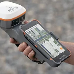
Our products are designed to work as a bundle, or you can bring any Windows, Android, iPad and iPhone.
It Just Works
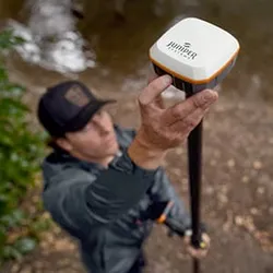
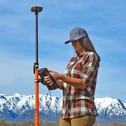
From our GNSS receivers' one-touch operation to Uinta's intuitive functions, you can start mapping quickly.

Industry-Leading Support
We provide live support from our headquarters, so we can get your equipment back up sooner.
GIS MAPPING APPLICATIONS
Utilities
Perform efficient maintenance, track assets, and plan new infrastructure.
Gas & Electric
Map current assets for easy maintenance and plan new lines with precision.
Fiber Internet
Plan new networks, maintain and track current ones. Share data between the office and field crews.
Environmental
Map and collect data on protected habitats for preservation.
Rail
From tracking assets to rail maintenance around the country, our solutions help you collect and manage data.
Agriculture
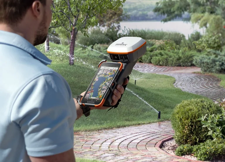
Irrigation planning and crop management create efficient and sustainable farms.
MAPPING BUNDLES
BUILD YOUR BUNDLE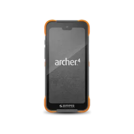
 +
+ +
+
Handheld
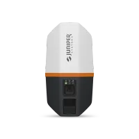
Receiver
Software
Interested in our solutions? Contact us today!

HAVE QUESTIONS?
Ready to learn more about Juniper products? Reach out to us and we will help you find the right device for your use case.
CONTACT US